A coastal atlas
A little La Jolla
La Jolla is the cliff above the water, a walk past the Cove, and the light in a third-floor corner of the Design and Innovation Building. I wanted those places to sit together on this site, small enough to turn in your hand.
A place, compressed
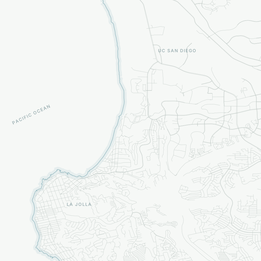
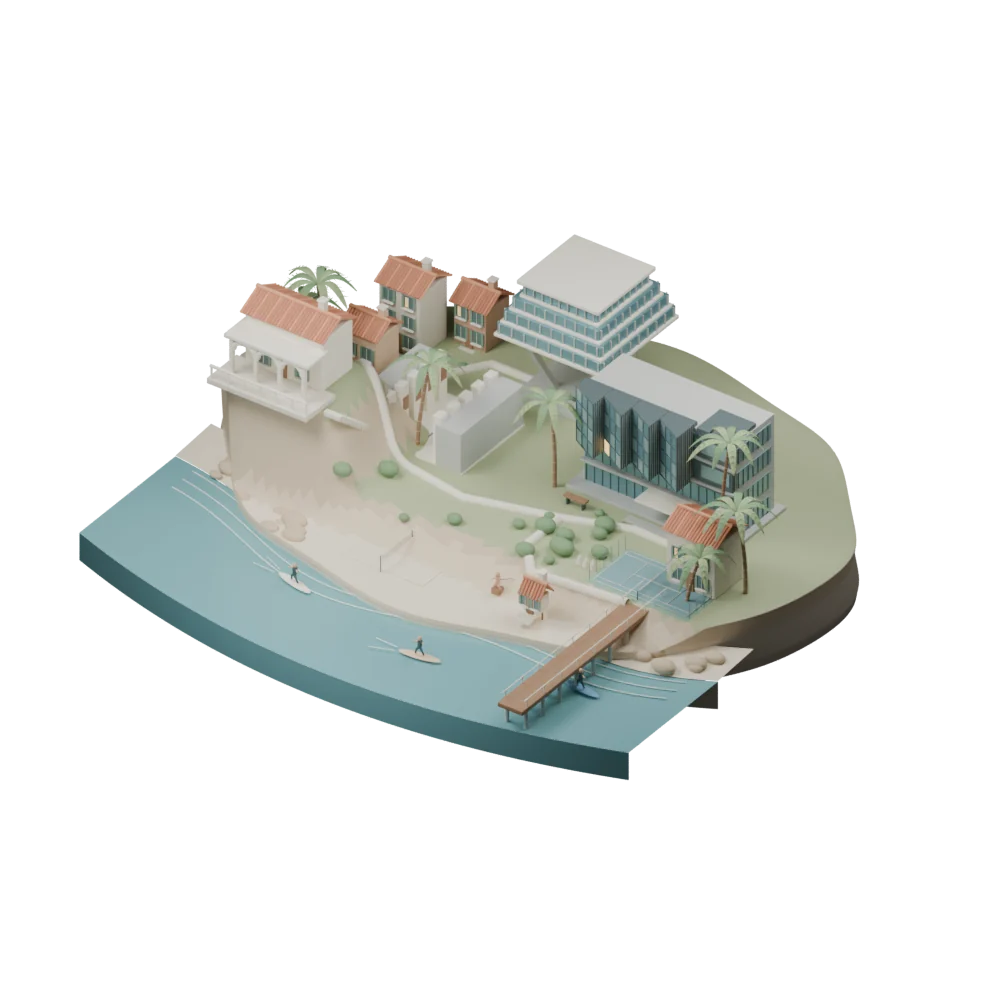
The miniature brings together DIB, Geisel Library, the Salk courtyard, Scripps Pier, Spanish houses, palms, courts, and the coast. Their distances are deliberately compressed. The translucent atlas underneath uses real OpenStreetMap coastline and road geometry; the buildings above it are an artistic composition.
The selected site theme changes the light and the little activities: a quiet morning, surfing around noon, warm afternoon light, and a small evening bonfire. My DIB office gets a light from noon onward and on some nights. That is a personal vignette, not live occupancy information.
From reference to geometry
I started with coordinated generated views, then ran Tencent’s Hunyuan3D-2mv locally to see what shape it could recover. The raw reconstruction is retained alongside the editable Blender composition. It is useful to compare the silhouette with the architecture that needs deliberate modeling: the folded DIB bays, Geisel’s stepped crown, the Salk courtyard, and the thin structure of the pier.
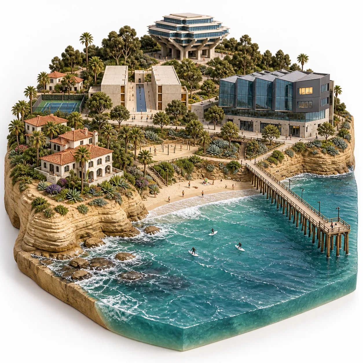
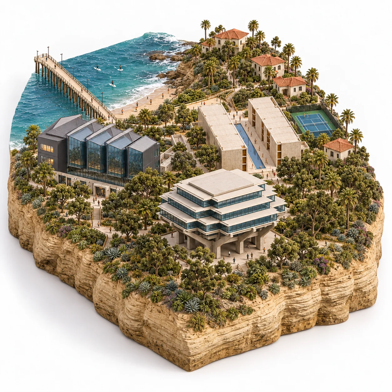
Generated design studies, not photographs or the live browser renderer. The production atlas uses sourced geometry.
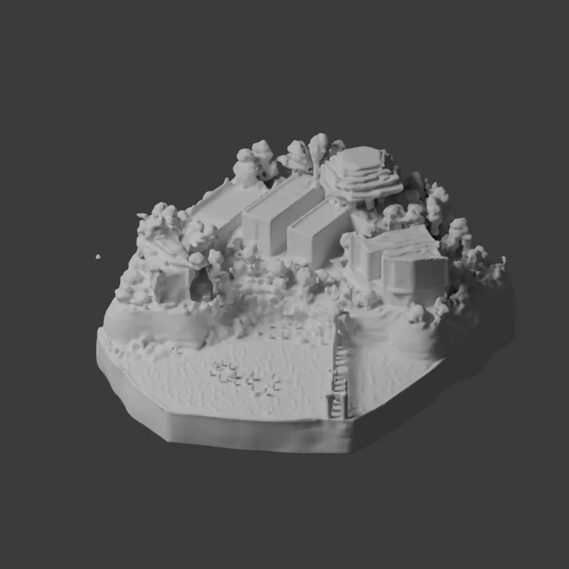
The reconstruction recovered the overall coastal mass, but softened the glass bays, library supports, and trees. I kept it as a shape study and built the interactive landmark geometry in Blender. The source images retain their tool provenance: their embedded metadata identifies gpt-image, version 2.0. The image tool did not offer a model selector.
Sources and materials
- Building references: UCSD Design and Innovation Building, Geisel Library architecture, Salk architecture, and Scripps Pier.
- Geographic base: OpenStreetMap contributors, under the Open Database License. The exported vector atlas carries the same attribution.
- Shape experiment: Tencent Hunyuan3D-2, with its model license retained in the process notes.
- Modeling and rendering: Blender and Three.js.